
1968 Map of Sand Butte Rim NW
USGS Topo · Published 1972About this map
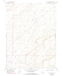
Sixmile Rim and Sand Butte Rim define the high, arid landscape of this Sweetwater County region during the late 1960s. The topography is dominated by these prominent escarpments and the drainage networks that carve through them, including Patrick Draw and Long Draw. The presence of several Drill Holes across the quadrangle points to the energy exploration and extractive industry that shaped the economy of the Red Desert and Washakie Basin during this era. Below the cliffs of the south, the Sand Wash provides a primary seasonal watercourse. This survey captures a specific moment in the industrial development of the Wyoming backcountry, where the physical isolation of the rimrock met the expanding reach of resource surveying.
Find a feature on this map
9 named features on this map. Tap any name to fly to it.
Don’t see what you’re looking for? This feature index may not catch every label — zoom into the map to look around manually.
Map Details
Editions of this 1968 Sand Butte Rim NW Map
2 editions found
Other maps of this area

1954 · Rock Springs
USGS Topo · 1:250,000

1958 · Rock Springs
USGS Topo · 1:250,000

1962 · Rock Springs
USGS Topo · 1:250,000

1968 · Cooper Ridge NE
USGS Topo · 1:24,000

1968 · Bitter Creek
USGS Topo · 1:24,000

1968 · Black Buttes
USGS Topo · 1:24,000

1968 · Pine Butte
USGS Topo · 1:24,000

1968 · Sand Butte Rim SE
USGS Topo · 1:24,000
1968 · Burley Draw
USGS Topo · 1:24,000
1968 · Point Of Rocks SE
USGS Topo · 1:24,000