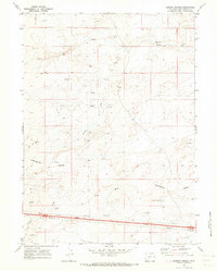
1970 Map of Desert Springs
USGS Topo · Published 1973About this map
The Continental Divide winds through this high-desert landscape in Sweetwater County, marking the hydrologic backbone of the region during the early 1970s. The map illustrates a terrain defined by energy extraction and transit, where numerous Oil Wells, Gas Wells, and exploration sites like Drill Holes are scattered across the sagebrush-covered basins. Near the center of the sheet, Smiley Draw drains toward the south, while the name-giving Desert Springs sits quietly along the eastern slopes of the divide.
Find a feature on this map
15 named features on this map. Tap any name to fly to it.
Don’t see what you’re looking for? This feature index may not catch every label — zoom into the map to look around manually.
Map Details
Editions of this 1970 Desert Springs Map
This is the sole edition of this map. No revisions or reprints were ever made.
Other maps of this area

1954 · Rock Springs
USGS Topo · 1:250,000

1958 · Rock Springs
USGS Topo · 1:250,000

1958 · Twelvemile Well
USGS Topo · 1:62,500

1960 · Red Lake
USGS Topo · 1:62,500

1962 · Rock Springs
USGS Topo · 1:250,000

1968 · Bitter Creek
USGS Topo · 1:24,000

1968 · Bitter Creek NE
USGS Topo · 1:24,000

1970 · Table Rock
USGS Topo · 1:24,000

1970 · J O Dugway
USGS Topo · 1:24,000

1970 · Tipton
USGS Topo · 1:24,000