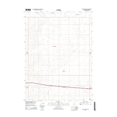
2015 Map of Bitter Creek NE
USGS Topo · Published 2015About this map
The Continental Divide defines the high country of Sweetwater County in this 2015 survey, marking the hydrological crest where waters separate toward different oceans. The landscape is characterized by its drainage patterns, notably Tenmile Draw in the northern reaches and Patrick Draw at the southeastern edge. This high-altitude terrain is sparse and open, intersected primarily by S Bitter Creek Rd and the east-west corridor of Interstate 80. The map captures a section of the Red Desert region where the vastness of the public land system is evident through the systematic township and range boundaries. It serves as a detailed record of the topography and existing infrastructure in a part of Wyoming known for its industrial and natural resource significance.
Find a feature on this map
12 named features on this map. Tap any name to fly to it.
Don’t see what you’re looking for? This feature index may not catch every label — zoom into the map to look around manually.
Map Details
Editions of this 2015 Bitter Creek NE Map
This is the sole edition of this map. No revisions or reprints were ever made.
Other maps of this area

1954 · Rock Springs
USGS Topo · 1:250,000

1958 · Rock Springs
USGS Topo · 1:250,000

1958 · Twelvemile Well
USGS Topo · 1:62,500

1960 · Red Lake
USGS Topo · 1:62,500

1962 · Rock Springs
USGS Topo · 1:250,000

1968 · Bitter Creek NW
USGS Topo · 1:24,000

1968 · Bitter Creek
USGS Topo · 1:24,000

1968 · Black Buttes
USGS Topo · 1:24,000

1968 · Bitter Creek NE
USGS Topo · 1:24,000

1970 · Table Rock
USGS Topo · 1:24,000