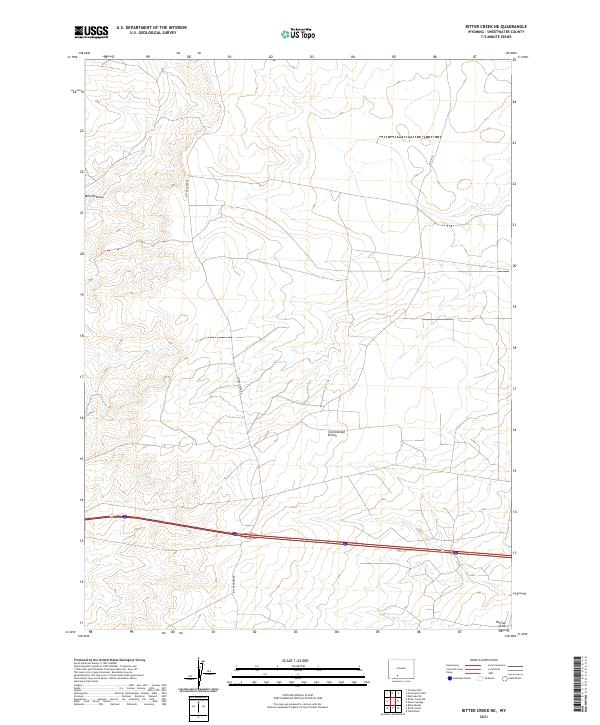
2021 Map of Bitter Creek NE
USGS Topo · Published 2021About this map
The Continental Divide bisects this high desert landscape in Sweetwater County, marking a critical hydrological boundary in the Wyoming interior. This 2021 survey by the U.S. Geological Survey shows a terrain defined by subtle elevation changes and dry drainage patterns such as Tenmile Draw and Patrick Draw. Transport through this arid corridor relies on historical routes like Bitter Creek Rd and Co Rd 82, which navigate a landscape otherwise marked by expansive public land survey grids. The map captures the intersection of major transit and the vastness of the Great Divide Basin, providing a clear record of the modern infrastructure that facilitates travel through this geographically significant portion of the American West.
Find a feature on this map
13 named features on this map. Tap any name to fly to it.
Don’t see what you’re looking for? This feature index may not catch every label — zoom into the map to look around manually.
Map Details
Editions of this 2021 Bitter Creek NE Map
This is the sole edition of this map. No revisions or reprints were ever made.
Other maps of this area

1954 · Rock Springs
USGS Topo · 1:250,000

1958 · Rock Springs
USGS Topo · 1:250,000

1958 · Twelvemile Well
USGS Topo · 1:62,500

1960 · Red Lake
USGS Topo · 1:62,500

1962 · Rock Springs
USGS Topo · 1:250,000

1968 · Bitter Creek NW
USGS Topo · 1:24,000

1968 · Bitter Creek
USGS Topo · 1:24,000

1968 · Black Buttes
USGS Topo · 1:24,000

1968 · Bitter Creek NE
USGS Topo · 1:24,000

1970 · Table Rock
USGS Topo · 1:24,000