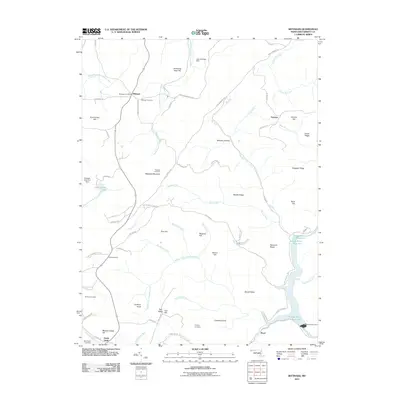
2011 Map of Bittinger
USGS Topo · Published 2011About this map
Bittinger serves as a central point in this high-elevation landscape of western Maryland, where the Bittinger Post Office and Bittinger Cemetery mark the enduring community on the ridge. The terrain is defined by the massive spine of Meadow Mountain, which reaches across the quadrangle and provides a home for the Bittinger Fire Tower. This high country is deeply etched by a network of drainage systems, including the South Branch Casselman River flowing north and the Middle Fork Crabtree Creek trending toward the southeast. Genealogists will find a significant concentration of family-named burial sites across the hills, including Pritts Cemetery, Rhodes Cemetery, and Murphy Cemetery. The eastern edge of the map shows the rugged descent toward the Savage River Reservoir, controlled by the Savage River Dam. These water resources, including Cunningham Lake and Lake Heritage Dam, reflect the importance of water management and recreation in these high mountain valleys.
Find a feature on this map
84 named features on this map. Tap any name to fly to it.
Don’t see what you’re looking for? This feature index may not catch every label — zoom into the map to look around manually.
Map Details
Editions of this 2011 Bittinger Map
This is the sole edition of this map. No revisions or reprints were ever made.
Other maps of this area

1895 · Piedmont
USGS Topo · 1:125,000

1899 · Grantsville
USGS Topo · 1:62,500

1899 · Oakland
USGS Topo · 1:62,500

1900 · Accident
USGS Topo · 1:62,500

1900 · Oakland
USGS Topo · 1:62,500

1904 · Grantsville
USGS Topo · 1:62,500

1919 · Elk Garden
USGS Topo · 1:48,000

1920 · Elk Garden
USGS Topo · 1:48,000

1922 · Elk Garden
USGS Topo · 1:62,500

1946 · Grantsville
USGS Topo · 1:24,000