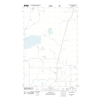
2011 Map of Biwabik NW
USGS Topo · Published 2011About this map
The Florenton Post Office stands as a focal point in this portion of Saint Louis County, situated amidst a landscape defined by an intricate network of waterways and timber access roads. Broad wetlands and lakes dominate the terrain, including the expansive Big Rice Lake and Little Rice Lake, which are connected by the Rice River. The hydrology is further defined by the Pike River and Sand River winding through the southern and eastern sections, providing a clear picture of the region's natural drainage patterns.
Find a feature on this map
40 named features on this map. Tap any name to fly to it.
Don’t see what you’re looking for? This feature index may not catch every label — zoom into the map to look around manually.
Map Details
Editions of this 2011 Biwabik NW Map
This is the sole edition of this map. No revisions or reprints were ever made.
Other maps of this area

1950 · Biwabik
USGS Topo · 1:24,000

1950 · Mc Kinley
USGS Topo · 1:24,000

1950 · Biwabik NW
USGS Topo · 1:24,000

1950 · Biwabik NE
USGS Topo · 1:24,000

1951 · Biwabik
USGS Topo · 1:24,000

1951 · Mc Kinley
USGS Topo · 1:24,000

1951 · Biwabik NE
USGS Topo · 1:24,000

1951 · Biwabik NW
USGS Topo · 1:24,000

1951 · Virginia
USGS Topo · 1:24,000

1951 · Britt
USGS Topo · 1:24,000