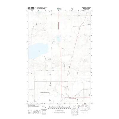
2013 Map of Biwabik NW
USGS Topo · Published 2013About this map
The Superior National Forest encompasses the vast majority of this landscape in St. Louis County, where a complex network of waterways defines the terrain. Central to the area is the expansive Big Rice Lake, which feeds into the Rice River as it winds north toward Little Rice Lake. This aquatic system is complemented by the southern flow of the Sand River and Wouri Cr, illustrating the glacial hydrology typical of northern Minnesota.
Find a feature on this map
26 named features on this map. Tap any name to fly to it.
Don’t see what you’re looking for? This feature index may not catch every label — zoom into the map to look around manually.
Map Details
Editions of this 2013 Biwabik NW Map
This is the sole edition of this map. No revisions or reprints were ever made.
Other maps of this area

1950 · Biwabik
USGS Topo · 1:24,000

1950 · Mc Kinley
USGS Topo · 1:24,000

1950 · Biwabik NW
USGS Topo · 1:24,000

1950 · Biwabik NE
USGS Topo · 1:24,000

1951 · Biwabik
USGS Topo · 1:24,000

1951 · Mc Kinley
USGS Topo · 1:24,000

1951 · Biwabik NE
USGS Topo · 1:24,000

1951 · Biwabik NW
USGS Topo · 1:24,000

1951 · Virginia
USGS Topo · 1:24,000

1951 · Britt
USGS Topo · 1:24,000