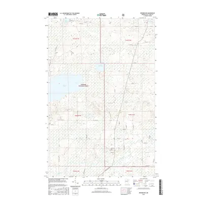
2016 Map of Biwabik NW
USGS Topo · Published 2016About this map
Superior National Forest defines the character of this Minnesota landscape, where the iron range's complex hydrology is on display through a network of lakes and rivers. Large bodies of water like Big Rice Lake and the smaller Little Rice Lake are connected by the winding Rice River, while the southern reaches of the map are defined by the Sand River and Lola Lake. The settlement pattern reflects the region’s rural heritage, with homesteads and small communities linked by a grid of county roads and historic routes such as Rice River Road and Pike River Dr. Genealogists and local historians will find significant value in the preservation of several rural burial grounds, including the West Pike Cem, Pike River Cem, and Sandy Cem, which serve as quiet markers of the families who settled this northern terrain near the headwaters of the Pike River.
Find a feature on this map
40 named features on this map. Tap any name to fly to it.
Don’t see what you’re looking for? This feature index may not catch every label — zoom into the map to look around manually.
Map Details
Editions of this 2016 Biwabik NW Map
This is the sole edition of this map. No revisions or reprints were ever made.
Other maps of this area

1950 · Biwabik
USGS Topo · 1:24,000

1950 · Mc Kinley
USGS Topo · 1:24,000

1950 · Biwabik NW
USGS Topo · 1:24,000

1950 · Biwabik NE
USGS Topo · 1:24,000

1951 · Biwabik
USGS Topo · 1:24,000

1951 · Mc Kinley
USGS Topo · 1:24,000

1951 · Biwabik NE
USGS Topo · 1:24,000

1951 · Biwabik NW
USGS Topo · 1:24,000

1951 · Virginia
USGS Topo · 1:24,000

1951 · Britt
USGS Topo · 1:24,000