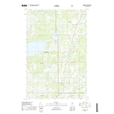
2019 Map of Biwabik NW
USGS Topo · Published 2019About this map
Superior National Forest encompasses much of this Saint Louis County landscape, dominated by a vast wetland and river system in northern Minnesota. Significant water bodies like Big Rice Lake and Little Rice Lake serve as central landmarks, with the Pike River and Sand River draining the territory. The presence of the West Pike Cem and Pike River Cem near the eastern margin suggests long-standing rural community centers in an area otherwise defined by timber management and recreation. The mapping of spurs such as Hulm Spur S and Hulm Spur M indicates the region's historical and continuing relationship with the taconite industry and logging. Local transport is facilitated by a network of rural routes including County Highway 68 and the more prominent Minnesota Highway 169, which cuts through the southern sections.
Find a feature on this map
40 named features on this map. Tap any name to fly to it.
Don’t see what you’re looking for? This feature index may not catch every label — zoom into the map to look around manually.
Map Details
Editions of this 2019 Biwabik NW Map
This is the sole edition of this map. No revisions or reprints were ever made.
Other maps of this area

1950 · Biwabik
USGS Topo · 1:24,000

1950 · Mc Kinley
USGS Topo · 1:24,000

1950 · Biwabik NW
USGS Topo · 1:24,000

1950 · Biwabik NE
USGS Topo · 1:24,000

1951 · Biwabik
USGS Topo · 1:24,000

1951 · Mc Kinley
USGS Topo · 1:24,000

1951 · Biwabik NE
USGS Topo · 1:24,000

1951 · Biwabik NW
USGS Topo · 1:24,000

1951 · Virginia
USGS Topo · 1:24,000

1951 · Britt
USGS Topo · 1:24,000