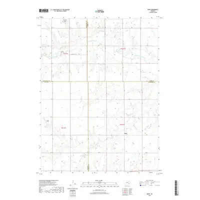
2017 Map of Bixby
USGS Topo · Published 2017About this map
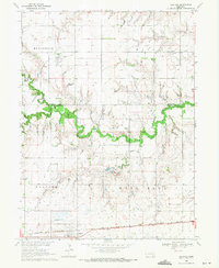
West Fork Big Blue River meanders across this rural section of Nebraska, marking the landscape at the junction of Hamilton, York, Clay, and Fillmore counties. The small settlement of Bixby sits near the heart of the quadrangle, surrounded by an organized grid of section roads like Farmers Valley Rd and Road E. For those researching family history in the area, the Farmers Valley Cem provides a specific point of interest north of the river. The terrain is further characterized by water features such as School Cr and the Thieszen Reservoir, alongside aviation landmarks including the Boardman Aerial Airport and Sutton Airfield. This survey illustrates the continued agricultural and infrastructure patterns of the plains, where small local drainages like Elk Run cut through the cultivated fields.
Find a feature on this map
35 named features on this map. Tap any name to fly to it.
Don’t see what you’re looking for? This feature index may not catch every label — zoom into the map to look around manually.
Map Details
Editions of this 2017 Bixby Map
This is the sole edition of this map. No revisions or reprints were ever made.
Other maps of this area

1898 · York
USGS Topo · 1:125,000

1899 · York
USGS Topo · 1:125,000

1955 · Lincoln
USGS Topo · 1:250,000

1957 · Lincoln
USGS Topo · 1:250,000

1958 · Lincoln
USGS Topo · 1:250,000
1968 · Aurora East
USGS Topo · 1:24,000
1968 · Henderson
USGS Topo · 1:24,000

1969 · Bixby
USGS Topo · 1:24,000
1969 · Saronville
USGS Topo · 1:24,000
1969 · Grafton
USGS Topo · 1:24,000