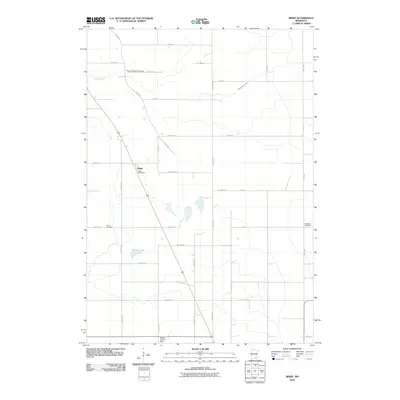
2010 Map of Bixby
USGS Topo · Published 2010About this map
Bixby sits as a central landmark in this portion of Steele County, characterized by its distinctive Bixby Post Office and a grid of rural roads. The landscape is defined by the agricultural layout of Southern Minnesota, where sections are clearly delineated by routes like Austin Rd and County Hwy-14. Genealogists will find significant value in the distribution of local burial grounds, including the Aurora Township Cemetery to the north and Union Cemetery and Westfield Cemetery further south. These sites, alongside water features like Rickert Lake and Turtle Creek, provide concrete reference points for tracing family landholdings. The presence of the Selstad Landing Field near the southern boundary highlights the continued integration of private aviation into the modern rural economy.
Find a feature on this map
31 named features on this map. Tap any name to fly to it.
Don’t see what you’re looking for? This feature index may not catch every label — zoom into the map to look around manually.
Map Details
Editions of this 2010 Bixby Map
This is the sole edition of this map. No revisions or reprints were ever made.
Other maps of this area

1953 · Saint Paul
USGS Topo · 1:250,000

1954 · Mason City
USGS Topo · 1:250,000

1957 · Mason City
USGS Topo · 1:250,000

1958 · Mason City
USGS Topo · 1:250,000

1959 · Saint Paul
USGS Topo · 1:250,000

1962 · Owatonna
USGS Topo · 1:24,000

1962 · Owatonna SE
USGS Topo · 1:24,000

1965 · Claremont
USGS Topo · 1:24,000

1966 · Waltham
USGS Topo · 1:24,000

1966 · Hayfield NW
USGS Topo · 1:24,000