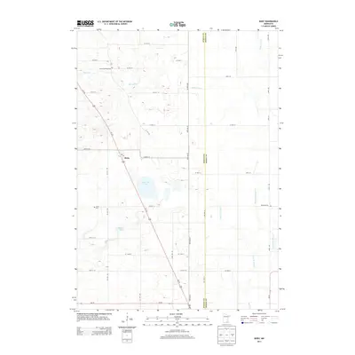
2013 Map of Bixby
USGS Topo · Published 2013About this map
The settlement of Bixby anchors this portion of the Minnesota prairie, situated at the intersection of Us-218 and CO Hwy-14. The landscape is defined by a dense network of water management features, including the Ebeling Ditch, Green Valley Ditch, and Westfield-Ripley Ditch, which drain the fertile agricultural lands surrounding Oak Glen Lake and Rickert Lake. This intricate drainage system reflects the region's long-standing reliance on engineered waterways to support its farming economy, particularly along the borders of Steele and Dodge counties.
Find a feature on this map
38 named features on this map. Tap any name to fly to it.
Don’t see what you’re looking for? This feature index may not catch every label — zoom into the map to look around manually.
Map Details
Editions of this 2013 Bixby Map
This is the sole edition of this map. No revisions or reprints were ever made.
Other maps of this area

1953 · Saint Paul
USGS Topo · 1:250,000

1954 · Mason City
USGS Topo · 1:250,000

1957 · Mason City
USGS Topo · 1:250,000

1958 · Mason City
USGS Topo · 1:250,000

1959 · Saint Paul
USGS Topo · 1:250,000

1962 · Owatonna
USGS Topo · 1:24,000

1962 · Owatonna SE
USGS Topo · 1:24,000

1965 · Claremont
USGS Topo · 1:24,000

1966 · Waltham
USGS Topo · 1:24,000

1966 · Hayfield NW
USGS Topo · 1:24,000