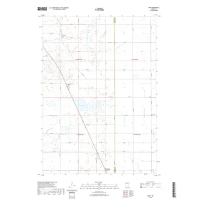
2019 Map of Bixby
USGS Topo · Published 2019About this map
The settlement of Bixby anchors the central landscape of this Steele and Dodge County border region, where a complex network of agricultural drainage channels and natural waterways defines the terrain. To the north, Turtle Cr flows through the township, while the southern reaches transition toward the edge of Blooming Prairie. The map captures a high concentration of water management features, including the Ebeling Ditch and Westfield-Ripley Ditch, which redirect water away from cultivated fields toward the Little Cedar River.
Find a feature on this map
42 named features on this map. Tap any name to fly to it.
Don’t see what you’re looking for? This feature index may not catch every label — zoom into the map to look around manually.
Map Details
Editions of this 2019 Bixby Map
This is the sole edition of this map. No revisions or reprints were ever made.
Other maps of this area

1953 · Saint Paul
USGS Topo · 1:250,000

1954 · Mason City
USGS Topo · 1:250,000

1957 · Mason City
USGS Topo · 1:250,000

1958 · Mason City
USGS Topo · 1:250,000

1959 · Saint Paul
USGS Topo · 1:250,000

1962 · Owatonna
USGS Topo · 1:24,000

1962 · Owatonna SE
USGS Topo · 1:24,000

1965 · Claremont
USGS Topo · 1:24,000

1966 · Waltham
USGS Topo · 1:24,000

1966 · Hayfield NW
USGS Topo · 1:24,000