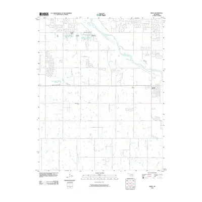
2010 Map of Bixby
USGS Topo · Published 2010About this map
The Arkansas River winds through this Oklahoma landscape south of Tulsa, anchoring a region defined by agricultural plots, industrial infrastructure, and expanding residential networks. The town of Bixby is situated on the eastern edge of the map, established near the riverbanks that historically shaped the local economy. Significant industrial development is evident at the Tiger Tank Farm, while a series of water management features including the Oknoname 143011 Reservoir and several named dams indicate modern hydrological control of the surrounding plains.
Find a feature on this map
41 named features on this map. Tap any name to fly to it.
Don’t see what you’re looking for? This feature index may not catch every label — zoom into the map to look around manually.
Map Details
Editions of this 2010 Bixby Map
This is the sole edition of this map. No revisions or reprints were ever made.
Other maps of this area

1896 · Okmulgee
USGS Topo · 1:125,000

1900 · Okmulgee
USGS Topo · 1:125,000

1901 · Claremore
USGS Topo · 1:125,000

1901 · Nuyaka
USGS Topo · 1:125,000

1912 · Hominy
USGS Topo · 1:125,000

1914 · Kiefer
USGS Topo · 1:62,500

1914 · Claremore
USGS Topo · 1:125,000

1915 · Hominy
USGS Topo · 1:125,000

1916 · Kiefer
USGS Topo · 1:62,500

1916 · Claremore
USGS Topo · 1:125,000