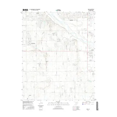
2016 Map of Bixby
USGS Topo · Published 2016About this map
The Arkansas River winds southeastward through this Oklahoma landscape, anchoring a corridor of rapid suburban expansion between Jenks and Bixby. This 2016 survey captures the dense residential street networks and modern reservoirs that have reshaped the historical farmsteads of Tulsa and Tulsa County. While the northern reaches show the suburban sprawl of Tulsa, the southern portion of the map retains a more rural character around the community of Liberty and the heights of Applegate Hill. Local history is preserved in the location of the Bixby Cem and Duck Creek Cem, which sit alongside contemporary water management features like Skyline Lake and the 143011 Reservoir. The intricate grid of section roads and residential avenues illustrates the transition from the river-bottom lands of Posey Cr and Snake Cr to the developed residential districts of Glenpool.
Find a feature on this map
129 named features on this map. Tap any name to fly to it.
Don’t see what you’re looking for? This feature index may not catch every label — zoom into the map to look around manually.
Map Details
Editions of this 2016 Bixby Map
This is the sole edition of this map. No revisions or reprints were ever made.
Other maps of this area

1896 · Okmulgee
USGS Topo · 1:125,000

1900 · Okmulgee
USGS Topo · 1:125,000

1901 · Claremore
USGS Topo · 1:125,000

1901 · Nuyaka
USGS Topo · 1:125,000

1912 · Hominy
USGS Topo · 1:125,000

1914 · Kiefer
USGS Topo · 1:62,500

1914 · Claremore
USGS Topo · 1:125,000

1915 · Hominy
USGS Topo · 1:125,000

1916 · Kiefer
USGS Topo · 1:62,500

1916 · Claremore
USGS Topo · 1:125,000