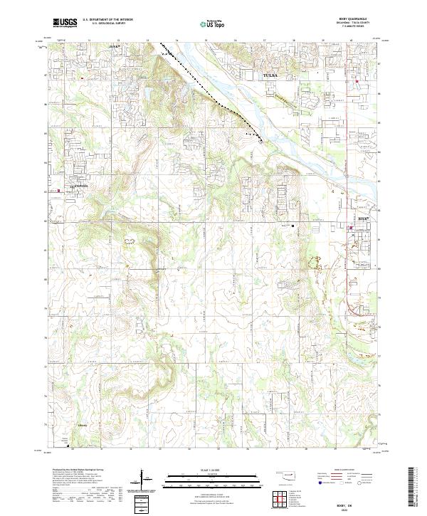
2022 Map of Bixby
USGS Topo · Published 2022About this map
The Arkansas River carves a broad valley through the southern reaches of the Tulsa metropolitan area, defining the landscape of this 2022 survey. Centered on the growing city of Bixby, the map illustrates a transition from suburban expansion near Jenks and Glenpool to the more open terrain of southern Tulsa County. Higher elevations like Applegate Hill stand above the drainage basins of Posey Creek and Duck Creek, while the rural community of Liberty anchors the southwestern corner. Genealogists and local historians can locate established burial grounds including Bixby Cemetery and Prairie Gardens Cemetery. The map's detailed street grid, from W 121st St down to E 160th Pl S, reveals the modern development patterns following the township and range lines of the original land surveys.
Find a feature on this map
61 named features on this map. Tap any name to fly to it.
Don’t see what you’re looking for? This feature index may not catch every label — zoom into the map to look around manually.
Map Details
Editions of this 2022 Bixby Map
This is the sole edition of this map. No revisions or reprints were ever made.
Other maps of this area

1896 · Okmulgee
USGS Topo · 1:125,000

1900 · Okmulgee
USGS Topo · 1:125,000

1901 · Claremore
USGS Topo · 1:125,000

1901 · Nuyaka
USGS Topo · 1:125,000

1912 · Hominy
USGS Topo · 1:125,000

1914 · Kiefer
USGS Topo · 1:62,500

1914 · Claremore
USGS Topo · 1:125,000

1915 · Hominy
USGS Topo · 1:125,000

1916 · Kiefer
USGS Topo · 1:62,500

1916 · Claremore
USGS Topo · 1:125,000