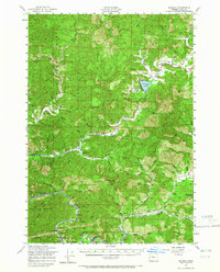
1956 Map of Blachly
USGS Topo · Published 1965About this map
The Siuslaw National Forest dominates this mid-century landscape of the Coast Range, where the Siuslaw River and the Southern Pacific railroad corridor define the southern industrial and transport geography. At the heart of the region, Triangle Lake serves as a focal point for local life, flanked by the Triangle Lake Sch and nearby Little Lake. The survey documents a network of small timber and rail-aligned settlements such as Walton, Globe, and Linslaw, each connected by the winding path of Highway 36. High-elevation landmarks like Windy Peak and Elk Mtn rise above the dense system of creeks, including Lake Creek and Wildcat Creek. Local history is preserved through the mapping of the Walton Cem and specialized sites like the Nelson Guard Station, illustrating the era's focus on forest management and isolated rural school districts.
Find a feature on this map
82 named features on this map. Tap any name to fly to it.
Don’t see what you’re looking for? This feature index may not catch every label — zoom into the map to look around manually.
Map Details
Editions of this 1956 Blachly Map
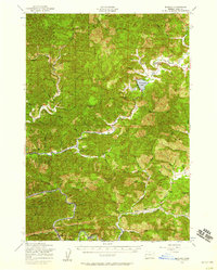
2 editions found
Other maps of this area

1909 · Elmira
USGS Topo · 1:62,500

1918 · Mapleton
USGS Topo · 1:48,000

1919 · Earl
USGS Topo · 1:48,000

1922 · Monroe
USGS Topo · 1:62,500

1922 · Elmira
USGS Topo · 1:62,500

1939 · Monroe
USGS Topo · 1:62,500

1940 · Mapleton
USGS Topo · 1:62,500

1941 · Blachly
USGS Topo · 1:62,500

1942 · Alsea
USGS Topo · 1:62,500

1942 · Elmira
USGS Topo · 1:62,500