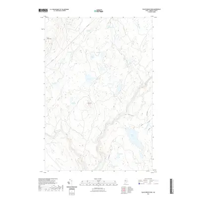
2021 Map of Black Brook Pond
USGS Topo · Published 2021About this map
Wilson Hill and Cold Stream Mtn define this interior Somerset County landscape, where the terrain is dominated by a complex network of glacial ponds and flowages. The topography is marked by significant water features such as Black Brook Pond, Chase Stream Pond, and Squirtgun Flowage, which suggest a wilderness historically utilized for timber and outdoor recreation. A network of unimproved roads, including Capital Rd and Indian Pond Rd, provides the primary access through the dense woodlands, connecting remote water bodies like Chub Pond and Ellis Pond.
Find a feature on this map
25 named features on this map. Tap any name to fly to it.
Don’t see what you’re looking for? This feature index may not catch every label — zoom into the map to look around manually.
Map Details
Editions of this 2021 Black Brook Pond Map
This is the sole edition of this map. No revisions or reprints were ever made.
Other maps of this area

1905 · The Forks
USGS Topo · 1:62,500

1907 · The Forks
USGS Topo · 1:62,500

1921 · Brassua Lake
USGS Topo · 1:62,500

1922 · Long Pond
USGS Topo · 1:62,500

1923 · Brassua Lake
USGS Topo · 1:62,500

1924 · Long Pond
USGS Topo · 1:62,500

1925 · Pierce Pond
USGS Topo · 1:48,000

1927 · Pierce Pond
USGS Topo · 1:62,500

1944 · Brassua Lake
USGS Topo · 1:62,500

1944 · Long Pond
USGS Topo · 1:62,500
Featured Places
- West Forks, ME
- Johnson Mountain Township, ME
- Chase Stream Township, ME
- Moxie Gore, ME
- Indian Stream Township, ME