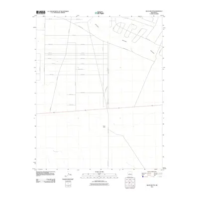
2010 Map of Black Butte
USGS Topo · Published 2010About this map
Black Butte dominates the central landscape of this Socorro County survey, standing south of an evolving grid of residential planning and historical drainage patterns. The terrain is defined by the ephemeral courses of Abo Arroyo in the north and Maes Arroyo to the southwest, which carve through the high desert floor. A dense network of named roads, including San Lorenzo Rd and Petacas Rd, suggests a period of significant suburban or rural subdivision development.
Find a feature on this map
30 named features on this map. Tap any name to fly to it.
Don’t see what you’re looking for? This feature index may not catch every label — zoom into the map to look around manually.
Map Details
Editions of this 2010 Black Butte Map
This is the sole edition of this map. No revisions or reprints were ever made.
Other maps of this area

1916 · La Joya
USGS Topo · 1:125,000

1952 · Tome SE
USGS Topo · 1:24,000

1952 · Black Butte
USGS Topo · 1:24,000

1952 · La Joya
USGS Topo · 1:24,000

1952 · Turn
USGS Topo · 1:24,000

1952 · Veguita
USGS Topo · 1:24,000

1952 · Becker SW
USGS Topo · 1:24,000

1952 · Becker
USGS Topo · 1:24,000

1952 · Abeytas
USGS Topo · 1:24,000

1952 · Cerro Montoso
USGS Topo · 1:24,000