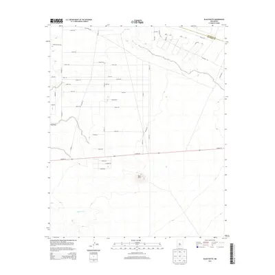
2013 Map of Black Butte
USGS Topo · Published 2013About this map
Black Butte rises as a prominent landmark in this desert landscape of central New Mexico, situated just south of the major transportation artery Highway 60. The map reveals a transitioning rural environment where traditional arroyos like Abo Arroyo, Pino Draw, and Maes Arroyo intersect with an emerging grid of residential streets. The northern boundary of the sheet follows the Valencia Co Socorro Co line, illustrating the jurisdictional division in this arid region.
Find a feature on this map
41 named features on this map. Tap any name to fly to it.
Don’t see what you’re looking for? This feature index may not catch every label — zoom into the map to look around manually.
Map Details
Editions of this 2013 Black Butte Map
This is the sole edition of this map. No revisions or reprints were ever made.
Other maps of this area

1916 · La Joya
USGS Topo · 1:125,000

1952 · Tome SE
USGS Topo · 1:24,000

1952 · Black Butte
USGS Topo · 1:24,000

1952 · La Joya
USGS Topo · 1:24,000

1952 · Turn
USGS Topo · 1:24,000

1952 · Veguita
USGS Topo · 1:24,000

1952 · Becker SW
USGS Topo · 1:24,000

1952 · Becker
USGS Topo · 1:24,000

1952 · Abeytas
USGS Topo · 1:24,000

1952 · Cerro Montoso
USGS Topo · 1:24,000