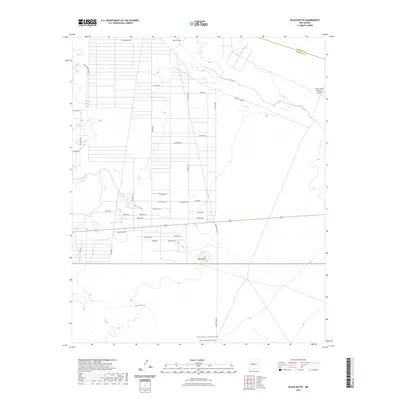
2023 Map of Black Butte
USGS Topo · Published 2023About this map
The high desert landscape of central New Mexico is defined by a rigorous grid of residential roads and the deep cuts of seasonal watercourses. Abo Arroyo and Maes Arroyo wind through the arid terrain, illustrating the drainage patterns that have shaped this region of the Rio Grande basin. The map highlights the sprawling northern edge of the Sevilleta National Wildlife Refuge, a protected area where the natural desert environment remains relatively untouched by the surrounding development.
Find a feature on this map
37 named features on this map. Tap any name to fly to it.
Don’t see what you’re looking for? This feature index may not catch every label — zoom into the map to look around manually.
Map Details
Editions of this 2023 Black Butte Map
This is the sole edition of this map. No revisions or reprints were ever made.
Other maps of this area

1916 · La Joya
USGS Topo · 1:125,000

1952 · Tome SE
USGS Topo · 1:24,000

1952 · Black Butte
USGS Topo · 1:24,000

1952 · La Joya
USGS Topo · 1:24,000

1952 · Turn
USGS Topo · 1:24,000

1952 · Veguita
USGS Topo · 1:24,000

1952 · Becker SW
USGS Topo · 1:24,000

1952 · Becker
USGS Topo · 1:24,000

1952 · Abeytas
USGS Topo · 1:24,000

1952 · Cerro Montoso
USGS Topo · 1:24,000