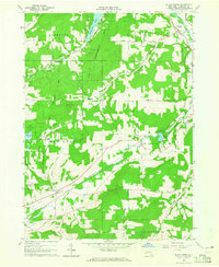
1964 Map of Black Creek
USGS Topo · Published 1965About this map
The Genesee Valley Canal and the Erie-Lackawanna Railroad cut across this Allegany County landscape, marking the evolution of New York's transit corridors during the mid-1960s. The settlement of Oramel sits near the Genesee River in the northeast, while further south, the namesake community of Black Creek serves as a local hub near the Black Creek Cem. The terrain is characterized by numerous family-named peaks such as Baragon Hill and Tibbetts Hill, separated by wooded state lands.
Find a feature on this map
73 named features on this map. Tap any name to fly to it.
Don’t see what you’re looking for? This feature index may not catch every label — zoom into the map to look around manually.
Map Details
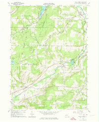
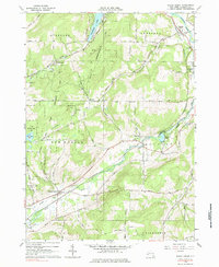
Editions of this 1964 Black Creek Map
Other maps of this area

1898 · Olean
USGS Topo · 1:62,500

1906 · Angelica
USGS Topo · 1:62,500

1924 · Franklinville
USGS Topo · 1:62,500

1925 · Belmont
USGS Topo · 1:62,500

1938 · Olean
USGS Topo · 1:62,500

1939 · Belmont
USGS Topo · 1:62,500

1941 · Angelica
USGS Topo · 1:62,500

1942 · Franklinville
USGS Topo · 1:62,500

1943 · Olean
USGS Topo · 1:62,500

1960 · Buffalo
USGS Topo · 1:250,000