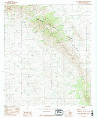
1985 Map of Black Diamond Peak
USGS Topo · Published 1985About this map
The Dragoon Mountains dominate this high-desert landscape in southeastern Arizona, rising sharply above the surrounding desert basins. The terrain is marked by significant mining activity and early ranching infrastructure, evidenced by numerous adits, mine shafts, and scattered prospects concentrated near Black Diamond Peak and the surrounding canyons like Mary Canyon and Henry Canyon. These features indicate a history of hard-rock mineral exploration within the Coronado National Forest.
Find a feature on this map
37 named features on this map. Tap any name to fly to it.
Don’t see what you’re looking for? This feature index may not catch every label — zoom into the map to look around manually.
Map Details
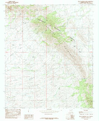
Editions of this 1985 Black Diamond Peak Map
2 editions found
Other maps of this area

1915 · Benson
USGS Topo · 1:125,000

1916 · Pearce
USGS Topo · 1:125,000

1922 · St. David
USGS Topo · 1:62,500

1925 · Gleeson
USGS Topo · 1:62,500

1926 · Courtland
USGS Topo · 1:62,500

1932 · Fairbank
USGS Topo · 1:62,500

1943 · Benson
USGS Topo · 1:125,000
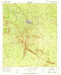
1952 · Tombstone
USGS Topo · 1:24,000
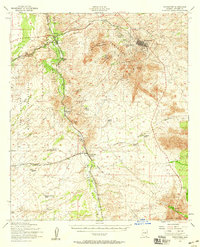
1952 · Tombstone
USGS Topo · 1:62,500

1955 · Douglas
USGS Topo · 1:250,000