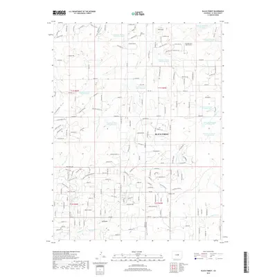
2019 Map of Black Forest
USGS Topo · Published 2019About this map
Black Forest and the surrounding El Paso County highlands are defined by a complex network of water management and recreational trails along the Palmer Divide. This modern survey illustrates the intensive use of the landscape, where numerous reservoirs such as Franktown Parker FPE-2 Reservoir and the various Kiowa Creek Watershed reservoirs manage the headwaters of the Burgess River and West Kiowa Creek. The terrain is marked by distinctive elevations like Table Rock and Spruce Hill, while the local heritage is anchored by the Table Rock Cemetery to the north.
Find a feature on this map
35 named features on this map. Tap any name to fly to it.
Don’t see what you’re looking for? This feature index may not catch every label — zoom into the map to look around manually.
Map Details
Editions of this 2019 Black Forest Map
This is the sole edition of this map. No revisions or reprints were ever made.
Other maps of this area

1893 · Colorado Springs
USGS Topo · 1:125,000

1894 · Castle Rock
USGS Topo · 1:125,000

1909 · Colorado Springs
USGS Topo · 1:125,000

1913 · Castle Rock
USGS Topo · 1:125,000

1940 · Elbert
USGS Topo · 1:62,500

1942 · Colorado Springs
USGS Topo · 1:125,000

1944 · Elbert
USGS Topo · 1:62,500

1948 · Falcon
USGS Topo · 1:24,000

1948 · Colorado Springs
USGS Topo · 1:62,500

1948 · Pikeview
USGS Topo · 1:24,000