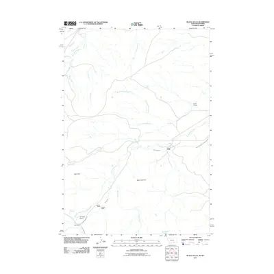
2011 Map of Black Gulch
USGS Topo · Published 2011About this map
The Little Bighorn River carves a diagonal path across this High Plains landscape, where water management is the primary driver of the local geography. Small settlements like Black Gulch and Red Gulch are situated near vital water sources and irrigation infrastructure, including the Black Gulch Ditch and the Upper Little Bighorn Canal Number Two. The reliance on these systems is evident in the network of smaller conduits such as Graham Ditch and Powers Upper Ditch, which service the arid terrain.
Find a feature on this map
26 named features on this map. Tap any name to fly to it.
Don’t see what you’re looking for? This feature index may not catch every label — zoom into the map to look around manually.
Map Details
Editions of this 2011 Black Gulch Map
This is the sole edition of this map. No revisions or reprints were ever made.
Other maps of this area

1894 · Rosebud
USGS Topo · 1:125,000

1894 · St. Xavier
USGS Topo · 1:125,000

1895 · Dayton
USGS Topo · 1:125,000

1898 · Bald Mountain
USGS Topo · 1:125,000

1901 · Rosebud
USGS Topo · 1:125,000

1901 · Dayton
USGS Topo · 1:125,000

1901 · St. Xavier
USGS Topo · 1:125,000

1901 · Bald Mountain
USGS Topo · 1:125,000

1954 · Hardin
USGS Topo · 1:250,000

1955 · Sheridan
USGS Topo · 1:250,000