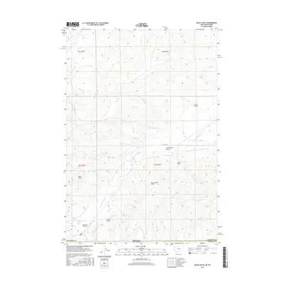
2017 Map of Black Gulch
USGS Topo · Published 2017About this map
The Little Bighorn River carves through this high-plains landscape where the Montana and Wyoming borders meet, defining the geographic and economic character of the Little Bighorn Valley. Irrigation infrastructure dominates the lower elevations, evidenced by the Upper Little Bighorn Canal Number Two, Black Gulch Ditch, and Powers-Upper Ditch. These man-made watercourses speak to a long history of water management in an arid ranching environment. High landmarks like Eagle Point and Black Gulch Point overlook a network of seasonal drainages including Lotties Draw and Brock Coulee. The presence of Dipping Vat Spring and The Rocky Bottom further underscores the area's importance for livestock and transit, while the sparse road network, centered on Little Horn Rd, highlights the isolation of this borderland terrain.
Find a feature on this map
30 named features on this map. Tap any name to fly to it.
Don’t see what you’re looking for? This feature index may not catch every label — zoom into the map to look around manually.
Map Details
Editions of this 2017 Black Gulch Map
This is the sole edition of this map. No revisions or reprints were ever made.
Other maps of this area

1894 · Rosebud
USGS Topo · 1:125,000

1894 · St. Xavier
USGS Topo · 1:125,000

1895 · Dayton
USGS Topo · 1:125,000

1898 · Bald Mountain
USGS Topo · 1:125,000

1901 · Rosebud
USGS Topo · 1:125,000

1901 · Dayton
USGS Topo · 1:125,000

1901 · St. Xavier
USGS Topo · 1:125,000

1901 · Bald Mountain
USGS Topo · 1:125,000

1954 · Hardin
USGS Topo · 1:250,000

1955 · Sheridan
USGS Topo · 1:250,000