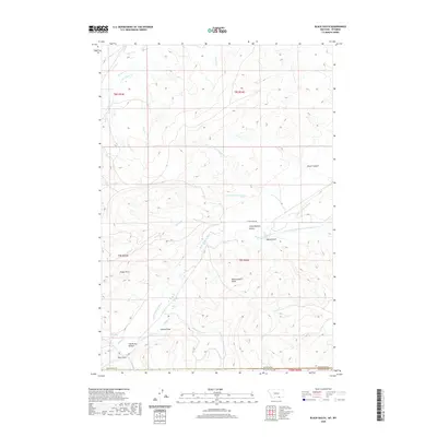
2020 Map of Black Gulch
USGS Topo · Published 2020About this map
The Little Bighorn River flows through this borderland between Wyoming and Montana, anchoring a landscape shaped by complex water management and high-desert terrain. Settled areas like the Little Bighorn Valley and The Rocky Bottom reflect the regional reliance on the river, supported by an intricate network of irrigation infrastructure including the Upper Little Bighorn Canal Number Two, Black Gulch Ditch, and Powers Upper Ditch. This 2020 survey illustrates how the ranching and agricultural economy of Sheridan County utilizes these managed waterways to sustain life in a territory otherwise defined by dry drainages like Red Gulch and Lotties Draw. Significant landmarks such as Eagle Point and Black Gulch Point rise above the basin, providing orientation across the vast range lands that straddle the state line.
Find a feature on this map
35 named features on this map. Tap any name to fly to it.
Don’t see what you’re looking for? This feature index may not catch every label — zoom into the map to look around manually.
Map Details
Editions of this 2020 Black Gulch Map
This is the sole edition of this map. No revisions or reprints were ever made.
Other maps of this area

1894 · Rosebud
USGS Topo · 1:125,000

1894 · St. Xavier
USGS Topo · 1:125,000

1895 · Dayton
USGS Topo · 1:125,000

1898 · Bald Mountain
USGS Topo · 1:125,000

1901 · Rosebud
USGS Topo · 1:125,000

1901 · Dayton
USGS Topo · 1:125,000

1901 · St. Xavier
USGS Topo · 1:125,000

1901 · Bald Mountain
USGS Topo · 1:125,000

1954 · Hardin
USGS Topo · 1:250,000

1955 · Sheridan
USGS Topo · 1:250,000