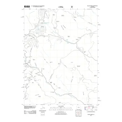
2011 Map of Black Hawk
USGS Topo · Published 2011About this map
Black Hawk and its surrounding mountain terrain are defined by a dense legacy of resource extraction and high-altitude settlement. This landscape is marked by numerous claims and shafts including the Dory Hill Mine, Morning Snow Mine, and the Blackhawk Placer Mine along North Clear Creek. The mapping details a complex network of gulches—from Jelly Roll Gulch to Elkhorn Gulch—that served as the foundation for the local mining economy.
Find a feature on this map
112 named features on this map. Tap any name to fly to it.
Don’t see what you’re looking for? This feature index may not catch every label — zoom into the map to look around manually.
Map Details
Editions of this 2011 Black Hawk Map
This is the sole edition of this map. No revisions or reprints were ever made.
Other maps of this area

1899 · West Denver
USGS Topo · 1:125,000

1903 · Georgetown
USGS Topo · 1:62,500

1905 · Central City
USGS Topo · 1:62,500

1905 · Georgetown
USGS Topo · 1:62,500

1906 · Blackhawk
USGS Topo · 1:62,500

1910 · Central City
USGS Topo · 1:62,500

1912 · Central City
USGS Topo · 1:62,500

1942 · Eldorado Springs
USGS Topo · 1:24,000

1942 · Nederland
USGS Topo · 1:24,000

1942 · Central City
USGS Topo · 1:24,000