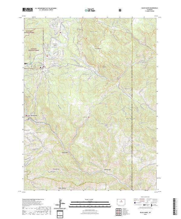
2022 Map of Black Hawk
USGS Topo · Published 2022About this map
Black Hawk and Central City anchor this mountainous landscape of northern Colorado, where the high-altitude terrain is defined by steep ridges and deep gulches. The Gilpin County Courthouse stands as a central civic landmark in an area famously tied to Colorado's early mining history, evidenced here by the dense concentration of named terrain features like Russell Gulch, Gregory Hill, and Justice Hill. To the north, the Dory Hill Cem and Athanasiou Valley Airport provide specific points of interest for genealogists and local historians near the residential developments along Golden Gate Canyon Rd.
Find a feature on this map
102 named features on this map. Tap any name to fly to it.
Don’t see what you’re looking for? This feature index may not catch every label — zoom into the map to look around manually.
Map Details
Editions of this 2022 Black Hawk Map
This is the sole edition of this map. No revisions or reprints were ever made.
Other maps of this area

1899 · West Denver
USGS Topo · 1:125,000

1903 · Georgetown
USGS Topo · 1:62,500

1905 · Central City
USGS Topo · 1:62,500

1905 · Georgetown
USGS Topo · 1:62,500

1906 · Blackhawk
USGS Topo · 1:62,500

1910 · Central City
USGS Topo · 1:62,500

1912 · Central City
USGS Topo · 1:62,500

1942 · Eldorado Springs
USGS Topo · 1:24,000

1942 · Nederland
USGS Topo · 1:24,000

1942 · Central City
USGS Topo · 1:24,000