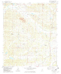
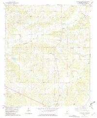
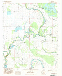
1982 Map of Black Hawk
USGS Topo · Published 1982This historical map portrays the area of Black Hawk in 1982, primarily covering Holmes County as well as portions of Carroll County. Featuring a scale of 1:24000, this map provides a highly detailed snapshot of the terrain, roads, buildings, counties, and historical landmarks in the Black Hawk region at the time. Published in 1982, it is the sole known edition of this map.
Map Details
Editions of this 1982 Black Hawk Map
This is the sole edition of this map. No revisions or reprints were ever made.
Historical Maps of Carroll County Through Time
10 maps found
1964 Bowling Green
Holmes County, MS

1964 Ebenezer
Holmes County, MS
1964 Owens Wells
Holmes County, MS
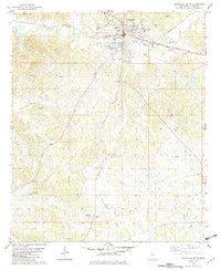
1982 Black Hawk
Holmes County, MS
1982 Howard
Holmes County, MS
1982 Lexington North
Holmes County, MS
1982 Lexington South
Holmes County, MS
1982 Marcella
Holmes County, MS
1982 Thornton
Holmes County, MS
1983 Montgomery
Holmes County, MS