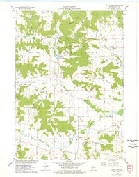
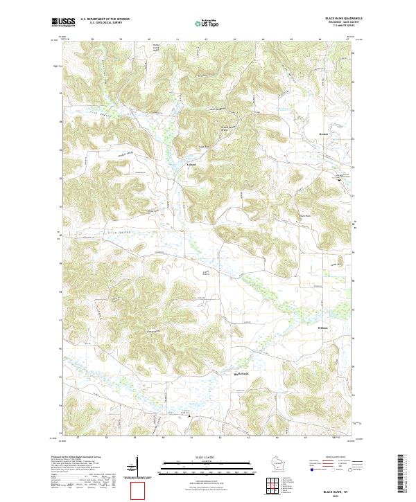
1975 Map of Black Hawk
USGS Topo · Published 1978About this map
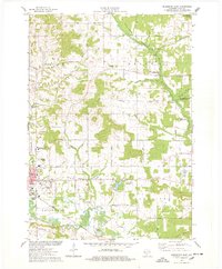
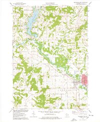
Honey Creek and its many branches define this pocket of Sauk County, where the driftless landscape's steep valleys and limestone outcrops influenced early settlement patterns. Small communities like Leland and Black Hawk are established along the water, with the Leland Millpond and a nearby Fish Hatchery indicating the historical importance of the local watershed. The presence of the Free Thinkers Cem near Leland suggests the unique cultural and philosophical roots of the German immigrants who settled this area.
Find a feature on this map
54 named features on this map. Tap any name to fly to it.
Don’t see what you’re looking for? This feature index may not catch every label — zoom into the map to look around manually.
Map Details
Editions of this 1975 Black Hawk Map
2 editions found
Historical Maps of Troy Through Time
17 maps found
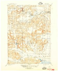
1901 Denzer
Sauk County, WI
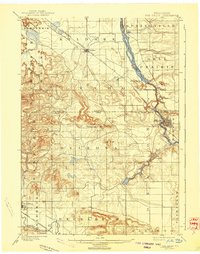
1901 The Dells
Sauk County, WI
1974 Baraboo NW
Sauk County, WI
1975 Black Hawk
Sauk County, WI

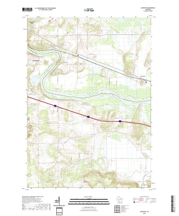
1975 Lewiston
Sauk County, WI
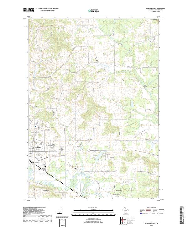
1975 Reedsburg East
Sauk County, WI
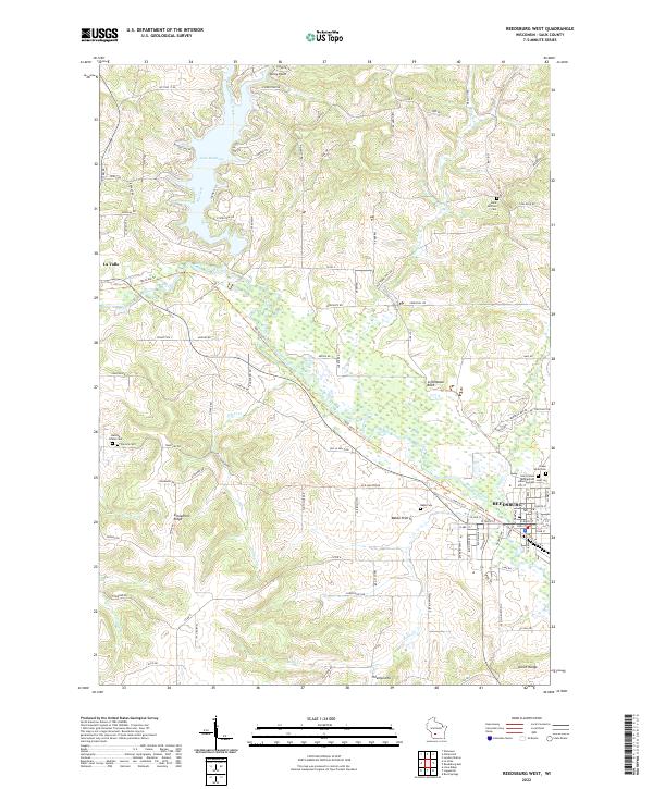
1975 Reedsburg West
Sauk County, WI
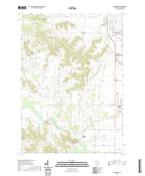
1975 Sauk Prairie
Sauk County, WI
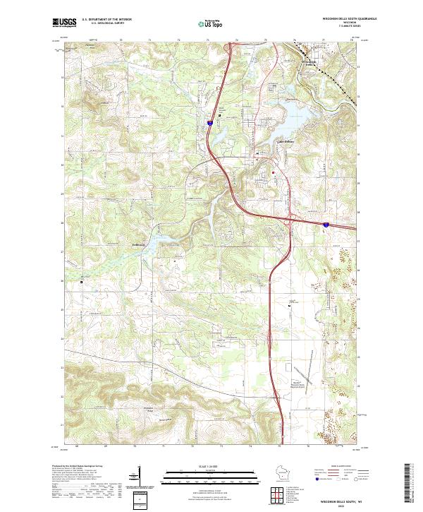
1975 Wisconsin Dells South
Sauk County, WI
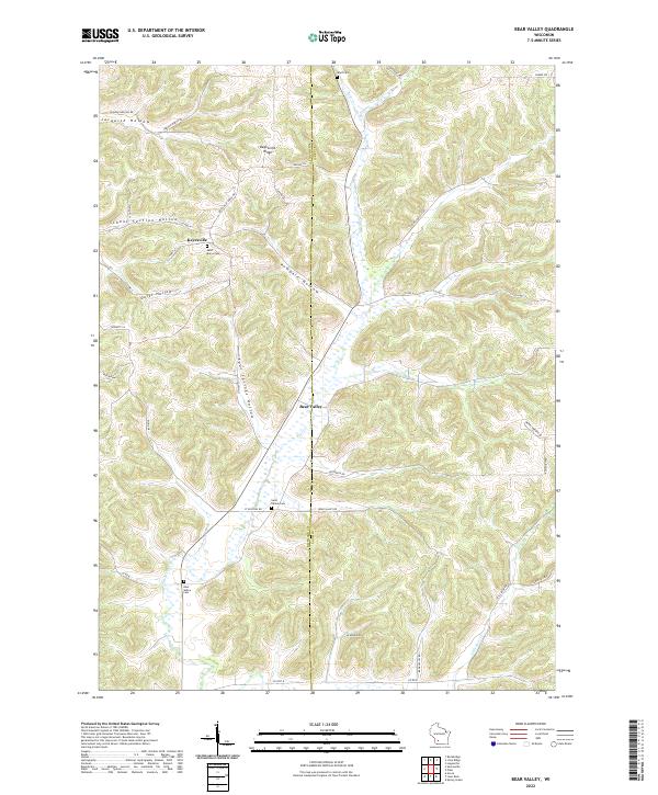
1983 Bear Valley
Sauk County, WI
2022 Bear Valley
Sauk County, WI
2022 Black Hawk
Sauk County, WI
2022 Lewiston
Sauk County, WI
2022 Reedsburg East
Sauk County, WI
2022 Reedsburg West
Sauk County, WI
2022 Sauk Prairie
Sauk County, WI
2022 Wisconsin Dells South
Sauk County, WI