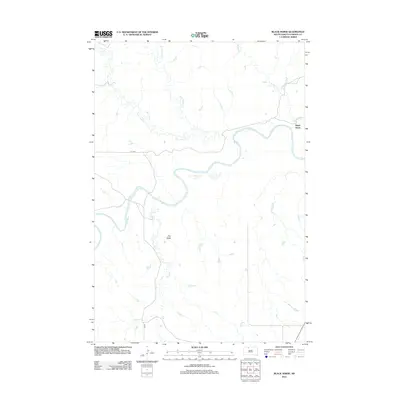
2012 Map of Black Horse
USGS Topo · Published 2012About this map
Black Horse is situated along the high banks where the winding Grand River meets its many northern tributaries. This prairie landscape is defined by the complex drainage systems of Dirt Lodge Cr, Little Soldier Cr, and Soldier Cr, which carve through the plains of the Rock Creek District. The prominent Clay Butte stands as a distinct landmark south of the river, rising above the surrounding grasslands.
Find a feature on this map
9 named features on this map. Tap any name to fly to it.
Don’t see what you’re looking for? This feature index may not catch every label — zoom into the map to look around manually.
Map Details
Editions of this 2012 Black Horse Map
This is the sole edition of this map. No revisions or reprints were ever made.
Other maps of this area

1953 · McIntosh
USGS Topo · 1:250,000

1956 · Black Horse NE
USGS Topo · 1:24,000

1956 · Black Horse SW
USGS Topo · 1:24,000

1956 · Cottonwood Creek NE
USGS Topo · 1:24,000

1956 · Black Horse SE
USGS Topo · 1:24,000

1956 · Black Horse
USGS Topo · 1:24,000

1956 · Cottonwood Creek SE
USGS Topo · 1:24,000

1958 · McIntosh
USGS Topo · 1:250,000

1972 · McIntosh SW
USGS Topo · 1:24,000

1972 · Morristown SE
USGS Topo · 1:24,000