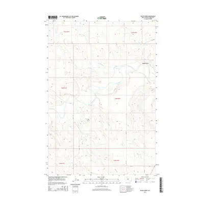
2015 Map of Black Horse
USGS Topo · Published 2015About this map
The Grand River winds through the heart of this Corson County landscape, defining the topography of the Rock Creek District. The small community of Black Horse sits on the eastern edge of the map, positioned near where Soldier Cr joins the larger river system. This area is characterized by a network of drainage creeks, including Little Soldier Cr and Dirt Lodge Cr, which carve through the plains. To the south, Clay Butte rises as a distinct landmark above Louse Cr. The section-line road network, including 237th Ave and 122nd St, reveals the enduring grid of the Public Land Survey System across the Standing Rock Reservation area, providing a precise record of late-twentieth-century rural infrastructure and land divisions.
Find a feature on this map
20 named features on this map. Tap any name to fly to it.
Don’t see what you’re looking for? This feature index may not catch every label — zoom into the map to look around manually.
Map Details
Editions of this 2015 Black Horse Map
This is the sole edition of this map. No revisions or reprints were ever made.
Other maps of this area

1953 · McIntosh
USGS Topo · 1:250,000

1956 · Black Horse NE
USGS Topo · 1:24,000

1956 · Black Horse SW
USGS Topo · 1:24,000

1956 · Cottonwood Creek NE
USGS Topo · 1:24,000

1956 · Black Horse SE
USGS Topo · 1:24,000

1956 · Black Horse
USGS Topo · 1:24,000

1956 · Cottonwood Creek SE
USGS Topo · 1:24,000

1958 · McIntosh
USGS Topo · 1:250,000

1972 · McIntosh SW
USGS Topo · 1:24,000

1972 · Morristown SE
USGS Topo · 1:24,000