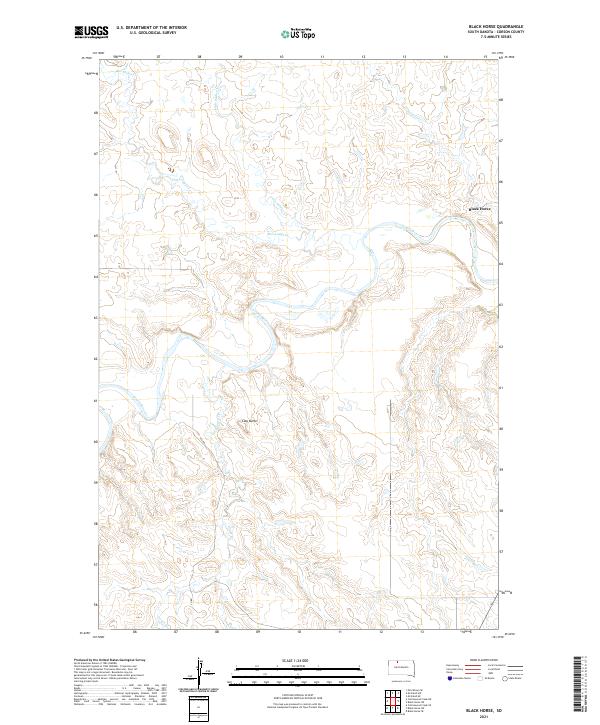
2021 Map of Black Horse
USGS Topo · Published 2021About this map
The Grand River meanders through the heart of this Corson County landscape, defining the topography of the Standing Rock reservation area. Near the eastern edge of the survey, the settlement of Black Horse sits adjacent to the river's winding path, serving as a primary point of human geography in a region dominated by drainage networks. Numerous seasonal watercourses, including Dirt Lodge Cr and Little Soldier Cr, carve deep into the northern plateaus before joining the main river valley.
Find a feature on this map
14 named features on this map. Tap any name to fly to it.
Don’t see what you’re looking for? This feature index may not catch every label — zoom into the map to look around manually.
Map Details
Editions of this 2021 Black Horse Map
This is the sole edition of this map. No revisions or reprints were ever made.
Other maps of this area

1953 · McIntosh
USGS Topo · 1:250,000

1956 · Black Horse NE
USGS Topo · 1:24,000

1956 · Black Horse SW
USGS Topo · 1:24,000

1956 · Cottonwood Creek NE
USGS Topo · 1:24,000

1956 · Black Horse SE
USGS Topo · 1:24,000

1956 · Black Horse
USGS Topo · 1:24,000

1956 · Cottonwood Creek SE
USGS Topo · 1:24,000

1958 · McIntosh
USGS Topo · 1:250,000

1972 · McIntosh SW
USGS Topo · 1:24,000

1972 · Morristown SE
USGS Topo · 1:24,000