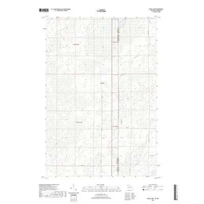
2018 Map of Black Lake
USGS Topo · Published 2018About this map
Belden serves as the primary focal point of this 2018 survey, situated near the intersection of the Pine County and Douglas County line. This landscape is defined by its extensive drainage network, where the headwaters of the Spruce River and various tributaries such as Dingle Cr and McDermott Cr traverse the marshy terrain. The border between Minnesota and Wisconsin bisects the sheet, creating a fascinating study of rural road development across state lines. Local transit is characterized by a network of specialized routes, including the Swedish Hwy and Moose Rd, while Belden Rd provides the north-south spine for the small settlement. To the north, the waters of Black Lake span the state boundary, illustrating the shared geography of the Upper Midwest wilderness.
Find a feature on this map
21 named features on this map. Tap any name to fly to it.
Don’t see what you’re looking for? This feature index may not catch every label — zoom into the map to look around manually.
Map Details
Editions of this 2018 Black Lake Map
This is the sole edition of this map. No revisions or reprints were ever made.
Other maps of this area

1949 · Danbury
USGS Topo · 1:48,000

1949 · Holyoke
USGS Topo · 1:48,000

1949 · Webb Lake
USGS Topo · 1:48,000

1949 · Patzau
USGS Topo · 1:48,000

1953 · Duluth
USGS Topo · 1:250,000

1954 · Foxboro
USGS Topo · 1:24,000
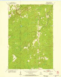
1954 · Patzau
USGS Topo · 1:24,000

1955 · Webb Lake
USGS Topo · 1:62,500

1955 · Patzau
USGS Topo · 1:62,500

1958 · Duluth
USGS Topo · 1:250,000