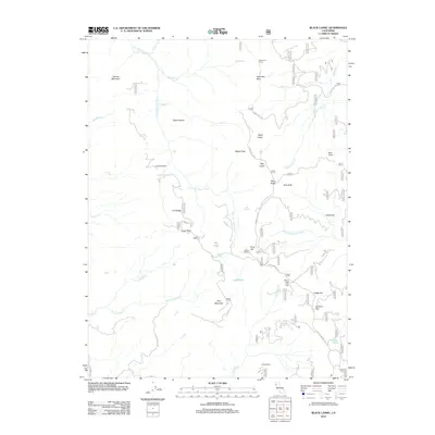
2012 Map of Black Lassic
USGS Topo · Published 2012About this map
The Little Van Duzen River carves through this corner of Humboldt County, defining a landscape marked by prominent peaks and ridges. High points like Black Lassic, Red Lassic, and Signal Peak overlook a network of seasonal drainages and isolated springs, including Alder Spring and Goat Spring. The area reflects a history of high-altitude navigation and land use, centered on geographic markers like Mule Ridge and Goat Rock.
Find a feature on this map
43 named features on this map. Tap any name to fly to it.
Don’t see what you’re looking for? This feature index may not catch every label — zoom into the map to look around manually.
Map Details
Editions of this 2012 Black Lassic Map
This is the sole edition of this map. No revisions or reprints were ever made.
Other maps of this area

1918 · Anada
USGS Topo · 1:62,500

1920 · Harris
USGS Topo · 1:62,500

1921 · Hoaglin
USGS Topo · 1:62,500

1922 · Island Mountain
USGS Topo · 1:62,500

1931 · Hoaglin
USGS Topo · 1:96,000

1935 · Hoaglin
USGS Topo · 1:125,000

1949 · Blocksburg
USGS Topo · 1:62,500

1949 · Alderpoint
USGS Topo · 1:62,500

1951 · Alderpoint
USGS Topo · 1:62,500

1951 · Blocksburg
USGS Topo · 1:62,500