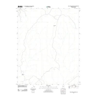
2011 Map of Black Mesa Wash NE
USGS Topo · Published 2011About this map
Black Mesa Wash winds through this arid sector of Navajo County, defining the drainage patterns of a landscape marked by intermittent water sources. This 2011 survey illustrates the sparse, high-desert environment where vital water points like Sand Spring and Peach Spring serve as critical landmarks. The map records a modern transportation network consisting primarily of local roads and 4WD tracks, reflecting the area's contemporary role within the Navajo Nation. These primitive routes follow the natural contours of the land, connecting isolated points across the vast stretches of the plateau while avoiding the deeper cuts of the wash.
Find a feature on this map
3 named features on this map. Tap any name to fly to it.
Don’t see what you’re looking for? This feature index may not catch every label — zoom into the map to look around manually.
Map Details
Editions of this 2011 Black Mesa Wash NE Map
This is the sole edition of this map. No revisions or reprints were ever made.
Other maps of this area

1883 · Marsh Pass
USGS Topo · 1:250,000

1892 · Marsh Pass
USGS Topo · 1:250,000

1956 · Marble Canyon
USGS Topo · 1:250,000

1959 · Marble Canyon
USGS Topo · 1:250,000

1961 · Marble Canyon
USGS Topo · 1:250,000
1968 · Owl Valley
USGS Topo · 1:24,000
1970 · Kydestea Spring
USGS Topo · 1:24,000

1970 · Black Mesa Wash NW
USGS Topo · 1:24,000

1970 · Shonto SE
USGS Topo · 1:24,000
1970 · Shonto
USGS Topo · 1:24,000