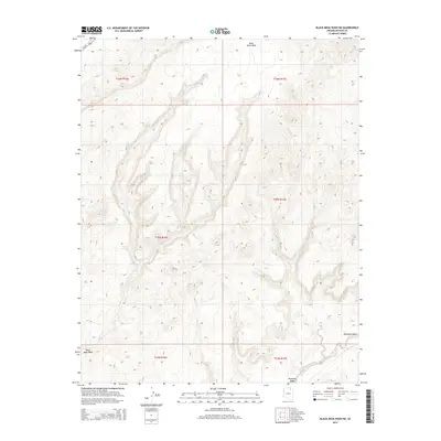
2014 Map of Black Mesa Wash NE
USGS Topo · Published 2014About this map
Moenkopi Wash and the northern reaches of Black Mesa Wash define this high-altitude corner of Navajo County, where the desert landscape is punctuated by vital water sources. In a region of the Colorado Plateau known for its arid environment, features like Sand Spring and Peach Spring represent essential historical landmarks for navigation and survival. The map reveals a dramatic topography of eroding mesa edges and branching drainage patterns that flow toward the larger wash systems. Modern connectivity is provided by Us-160, which cuts across the northwestern corner of the sheet, while the underlying grid of the Public Land Survey System partitions the territory into townships like t35n r16e and t36n r17e.
Find a feature on this map
12 named features on this map. Tap any name to fly to it.
Don’t see what you’re looking for? This feature index may not catch every label — zoom into the map to look around manually.
Map Details
Editions of this 2014 Black Mesa Wash NE Map
This is the sole edition of this map. No revisions or reprints were ever made.
Other maps of this area

1883 · Marsh Pass
USGS Topo · 1:250,000

1892 · Marsh Pass
USGS Topo · 1:250,000

1956 · Marble Canyon
USGS Topo · 1:250,000

1959 · Marble Canyon
USGS Topo · 1:250,000

1961 · Marble Canyon
USGS Topo · 1:250,000
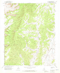
1968 · Owl Valley
USGS Topo · 1:24,000
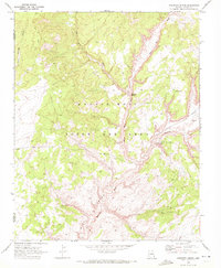
1970 · Kydestea Spring
USGS Topo · 1:24,000

1970 · Black Mesa Wash NW
USGS Topo · 1:24,000

1970 · Shonto SE
USGS Topo · 1:24,000
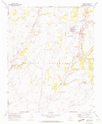
1970 · Shonto
USGS Topo · 1:24,000