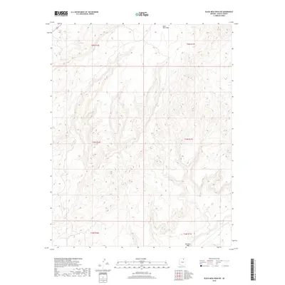
2018 Map of Black Mesa Wash NE
USGS Topo · Published 2018About this map
Moenkopi Wash and Black Mesa Wash define the drainage patterns of this high-altitude landscape in Navajo County. The terrain is characterized by intricate contouring that illustrates the deeply dissected plateaus and mesas typical of this region. Notable water sources such as Peach Spring and Sand Spring are scattered across the northern sections, serving as critical landmarks in an otherwise arid environment. This 2018 survey reveals a territory primarily shaped by natural topography rather than dense human settlement, organized within the township and range divisions of t36n r16e through t34n r17e. The layout of these ephemeral washes and named springs provides essential context for understanding the hydrology and traditional land use of the Black Mesa area.
Find a feature on this map
10 named features on this map. Tap any name to fly to it.
Don’t see what you’re looking for? This feature index may not catch every label — zoom into the map to look around manually.
Map Details
Editions of this 2018 Black Mesa Wash NE Map
This is the sole edition of this map. No revisions or reprints were ever made.
Other maps of this area

1883 · Marsh Pass
USGS Topo · 1:250,000

1892 · Marsh Pass
USGS Topo · 1:250,000

1956 · Marble Canyon
USGS Topo · 1:250,000

1959 · Marble Canyon
USGS Topo · 1:250,000

1961 · Marble Canyon
USGS Topo · 1:250,000
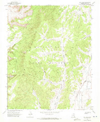
1968 · Owl Valley
USGS Topo · 1:24,000
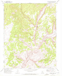
1970 · Kydestea Spring
USGS Topo · 1:24,000

1970 · Black Mesa Wash NW
USGS Topo · 1:24,000

1970 · Shonto SE
USGS Topo · 1:24,000
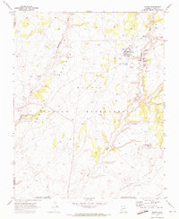
1970 · Shonto
USGS Topo · 1:24,000