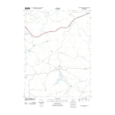
2010 Map of Black Moshannon
USGS Topo · Published 2010About this map
Black Moshannon Lake and its surrounding wetlands form the center of this landscape in Pennsylvania's high plateau country. The topography is defined by the winding course of Moshannon Creek and its many tributaries, including Sixmile Run and Black Moshannon Creek. While primarily an area of forested hills and narrow valleys like Panther Hollow and Sawdust Hollow, the map documents human infrastructure integrated into the wilderness, such as the Mid-State Airport and the Rattlesnake Lookout Tower. Small settlements like Peale and Beaver Mills are connected by a network of rural routes and forest trails. The presence of the Black Moshannon Dam and Kephart Dam indicates the controlled water systems that manage the lake, while landmarks like Turtle Rocks and Hunters Rocks point to the distinct geological character of the region.
Find a feature on this map
67 named features on this map. Tap any name to fly to it.
Don’t see what you’re looking for? This feature index may not catch every label — zoom into the map to look around manually.
Map Details
Editions of this 2010 Black Moshannon Map
This is the sole edition of this map. No revisions or reprints were ever made.
Other maps of this area

1908 · Bellefonte
USGS Topo · 1:62,500

1909 · Bellefonte
USGS Topo · 1:62,500

1922 · Philipsburg
USGS Topo · 1:62,500

1928 · Snow Shoe
USGS Topo · 1:48,000

1929 · Karthaus
USGS Topo · 1:62,500

1931 · Show Shoe
USGS Topo · 1:62,500

1932 · Karthaus
USGS Topo · 1:62,500

1939 · Philipsburg
USGS Topo · 1:62,500

1943 · Lewistown
USGS Topo · 1:125,000

1945 · Philipsburg
USGS Topo · 1:62,500