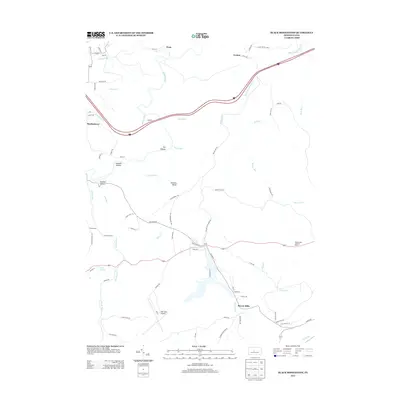
2013 Map of Black Moshannon
USGS Topo · Published 2013About this map
Beaver Mills and the surrounding woodlands of Centre County are defined by a complex network of waterways and early 21st-century infrastructure. The landscape is carved by Black Moshannon Creek and Sixmile Run, which flow through various depressions such as Sawdust Hollow and Panther Hollow. Local industry and transit history are visible through features like the Viaduct on Browns Run and the presence of Mid-State Airport in the south.
Find a feature on this map
77 named features on this map. Tap any name to fly to it.
Don’t see what you’re looking for? This feature index may not catch every label — zoom into the map to look around manually.
Map Details
Editions of this 2013 Black Moshannon Map
This is the sole edition of this map. No revisions or reprints were ever made.
Other maps of this area

1908 · Bellefonte
USGS Topo · 1:62,500

1909 · Bellefonte
USGS Topo · 1:62,500

1922 · Philipsburg
USGS Topo · 1:62,500

1928 · Snow Shoe
USGS Topo · 1:48,000

1929 · Karthaus
USGS Topo · 1:62,500

1931 · Show Shoe
USGS Topo · 1:62,500

1932 · Karthaus
USGS Topo · 1:62,500

1939 · Philipsburg
USGS Topo · 1:62,500

1943 · Lewistown
USGS Topo · 1:125,000

1945 · Philipsburg
USGS Topo · 1:62,500