
1960 Map of Black Mountain
USGS Topo · Published 1962About this map
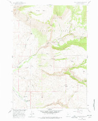
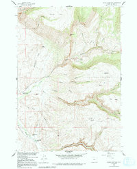
Bighorn National Forest serves as the backdrop for this 1960s study of the steep canyons and high mesas of Big Horn County. The topographic survey highlights the specific corridors of Shell Creek and Trapper Creek, where narrow valleys allowed for limited ranching and institutional use. Of particular note for local history is the Iowa State Univ Geology Camp, situated near the confluence of several gulches. The drainage network is complex, featuring prominent landforms such as Sunlight Mesa and the distinctive Elephant Head Rock.
Find a feature on this map
39 named features on this map. Tap any name to fly to it.
Don’t see what you’re looking for? This feature index may not catch every label — zoom into the map to look around manually.
Map Details
Editions of this 1960 Black Mountain Map
3 editions found
Other maps of this area

1898 · Bald Mountain
USGS Topo · 1:125,000

1901 · Bald Mountain
USGS Topo · 1:125,000

1955 · Sheridan
USGS Topo · 1:250,000

1958 · Sheridan
USGS Topo · 1:250,000

1960 · Shell Falls
USGS Topo · 1:24,000

1960 · White Sulphur Spring
USGS Topo · 1:24,000

1960 · Granite Pass
USGS Topo · 1:24,000

1960 · Manderson NE
USGS Topo · 1:24,000

1960 · Hidden Tepee Creek
USGS Topo · 1:24,000
1960 · Bush Butte
USGS Topo · 1:24,000