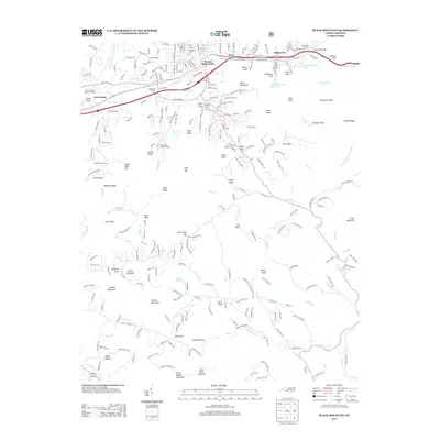
2013 Map of Black Mountain
USGS Topo · Published 2013About this map
The Black Mountain township serves as a central hub in this mountain landscape, positioned along the banks of the Swannanoa River. To the west, the North Carolina State Test Farm occupies the flats near Grovestone, while the Swannanoa Tunnel pierces the heights at Swannanoa Gap near Ridgecrest. The area is defined by its numerous private and recreational water bodies, including Tomahawk Lake, Lake Evens, and Laurel Lake, reflecting the region's long-standing role as a mountain retreat and educational center, as seen at the Blue Ridge YMCA Camp.
Find a feature on this map
96 named features on this map. Tap any name to fly to it.
Don’t see what you’re looking for? This feature index may not catch every label — zoom into the map to look around manually.
Map Details
Editions of this 2013 Black Mountain Map
This is the sole edition of this map. No revisions or reprints were ever made.
Other maps of this area

1900 · Mount Mitchell
USGS Topo · 1:125,000

1902 · Mount Mitchell
USGS Topo · 1:125,000

1907 · Saluda
USGS Topo · 1:125,000

1934 · Parts Of Old Fort and Montreat
USGS Topo · 1:24,000

1935 · Montreat
USGS Topo · 1:24,000

1935 · Batcave
USGS Topo · 1:24,000

1935 · Black Mountain
USGS Topo · 1:24,000

1935 · Craggy Pinnacle
USGS Topo · 1:24,000

1936 · Fruitland
USGS Topo · 1:24,000

1941 · Black Mountain
USGS Topo · 1:24,000