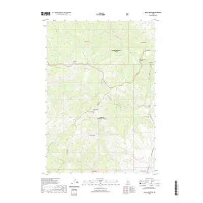
2020 Map of Black Mountain
USGS Topo · Published 2020About this map
Salmon National Forest and Challis National Forest meet in this high-altitude region of central Idaho. The terrain is defined by prominent peaks including Black Mtn, Woods Peak, and Van Horn Peak, which stand as landmarks over a complex network of drainages. Water from Silver Cr and Panther Cr flows through the northern reaches, while the southeastern corner is dominated by the Morgan Creek watershed. The boundary between Lemhi and Custer counties cuts through the center of the sheet, following the high ridges. Remote water bodies like Cougar Lake and the Castle Lakes sit tucked into the high basins, accessible primarily by rugged routes like Morgan Creek Rd. The presence of numerous named gulches and basins, such as Sams Gulch and Hogan Gulch, reflects a landscape deeply mapped for its topography and natural resource management.
Find a feature on this map
41 named features on this map. Tap any name to fly to it.
Don’t see what you’re looking for? This feature index may not catch every label — zoom into the map to look around manually.
Map Details
Editions of this 2020 Black Mountain Map
This is the sole edition of this map. No revisions or reprints were ever made.
Other maps of this area

1956 · Challis
USGS Topo · 1:62,500

1956 · Twin Peaks
USGS Topo · 1:62,500

1957 · Challis
USGS Topo · 1:250,000

1960 · Challis
USGS Topo · 1:250,000

1963 · Challis
USGS Topo · 1:250,000
1963 · Opal Lake
USGS Topo · 1:24,000
1963 · Duck Creek Point
USGS Topo · 1:24,000
1963 · Black Mtn
USGS Topo · 1:24,000
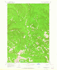
1963 · Taylor Mountain
USGS Topo · 1:24,000
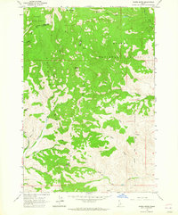
1963 · Wards Butte
USGS Topo · 1:24,000