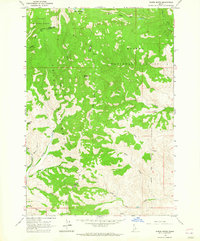
1963 Map of Wards Butte
USGS Topo · Published 1965About this map
Wards Butte stands as a central landmark in this 1960s survey of the high country straddling the Lemhi Co Custer Co line. The terrain is defined by a complex drainage network where the Salmon National Forest and Challis National Forest meet. Water sources are abundant, from the high Hat Creek Lakes to the numerous tributaries of the Hat Creek system, including the Middle Fork and Big Hat Creek.
Find a feature on this map
22 named features on this map. Tap any name to fly to it.
Don’t see what you’re looking for? This feature index may not catch every label — zoom into the map to look around manually.
Map Details
Editions of this 1963 Wards Butte Map
2 editions found
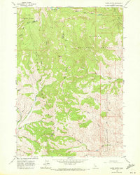
Other maps of this area

1956 · Challis
USGS Topo · 1:62,500

1956 · Twin Peaks
USGS Topo · 1:62,500

1957 · Challis
USGS Topo · 1:250,000

1960 · Challis
USGS Topo · 1:250,000
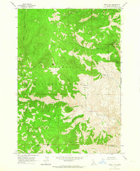
1962 · Degan Mtn
USGS Topo · 1:24,000

1963 · Challis
USGS Topo · 1:250,000
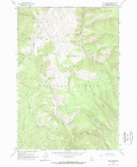
1963 · Opal Lake
USGS Topo · 1:24,000
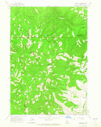
1963 · Black Mtn
USGS Topo · 1:24,000
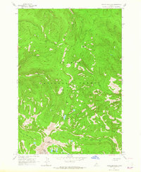
1963 · Taylor Mountain
USGS Topo · 1:24,000
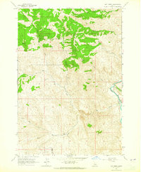
1963 · Hat Creek
USGS Topo · 1:24,000