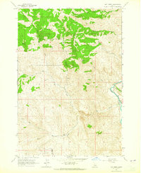
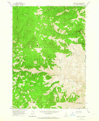
1963 Map of Hat Creek
USGS Topo · Published 1965About this map
Salmon National Forest dominates the northern reaches of this Idaho landscape, where the high ridges of Iron Mountain and King Mountain overlook a complex network of drainages. The Salmon River cuts through the eastern edge of the quadrangle, serving as a primary corridor for travel and utility, evidenced by the Cable Crossing near the mouth of McKim Creek. The area’s early mid-century activity is marked by isolated outposts like the Little Hat Ranch and a remote Cabin in the northern hills.
Find a feature on this map
22 named features on this map. Tap any name to fly to it.
Don’t see what you’re looking for? This feature index may not catch every label — zoom into the map to look around manually.
Map Details
Editions of this 1963 Hat Creek Map
2 editions found
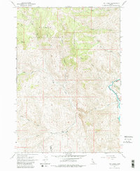
Other maps of this area

1955 · Dubois
USGS Topo · 1:250,000

1956 · May
USGS Topo · 1:62,500

1956 · Challis
USGS Topo · 1:62,500

1957 · Challis
USGS Topo · 1:250,000

1958 · Dubois
USGS Topo · 1:250,000

1960 · Challis
USGS Topo · 1:250,000
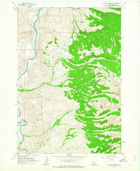
1962 · Allison Creek
USGS Topo · 1:24,000
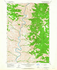
1962 · Goldbug Ridge
USGS Topo · 1:24,000
1962 · Degan Mtn
USGS Topo · 1:24,000

1963 · Challis
USGS Topo · 1:250,000