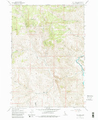
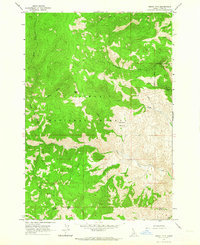
1963 Map of Hat Creek
USGS Topo · Published 1980About this map
Salmon National Forest dominates this Idaho landscape, where the Salmon River cuts through the eastern portion of the quadrangle. The terrain is defined by significant elevations, including Iron Mountain and King Mountain, with numerous drainages like Beaver Gulch and South Gulch feeding into the intricate waterway system. This 1963 survey captures the high-country ranching and transit infrastructure of the mid-century, specifically noting the Little Hat Ranch situated near the confluence of Little Hat Creek and Hat Creek. Transportation in this area was largely dependent on primitive infrastructure, evidenced by several Jeep Trails and a Trail system navigating the steep slopes. Of particular note for local history are the remote Cable Crossing locations along the river and a lone Cabin in the northern reach, reflecting the isolation of these Lemhi and Custer county borderlands.
Find a feature on this map
21 named features on this map. Tap any name to fly to it.
Don’t see what you’re looking for? This feature index may not catch every label — zoom into the map to look around manually.
Map Details
Editions of this 1963 Hat Creek Map
2 editions found
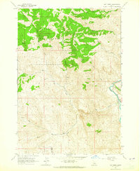
Other maps of this area

1955 · Dubois
USGS Topo · 1:250,000

1956 · May
USGS Topo · 1:62,500

1956 · Challis
USGS Topo · 1:62,500

1957 · Challis
USGS Topo · 1:250,000

1958 · Dubois
USGS Topo · 1:250,000

1960 · Challis
USGS Topo · 1:250,000
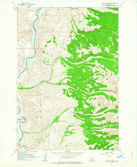
1962 · Allison Creek
USGS Topo · 1:24,000
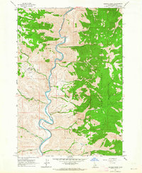
1962 · Goldbug Ridge
USGS Topo · 1:24,000
1962 · Degan Mtn
USGS Topo · 1:24,000

1963 · Challis
USGS Topo · 1:250,000