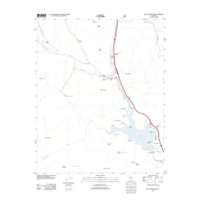
2012 Map of Black Mountain
USGS Topo · Published 2012About this map
Pyramid Lake dominates the southeastern quadrant of this region, serving as a focal point for modern recreation and infrastructure. The map reveals a landscape defined by significant water management and transit corridors, featuring the Angeles Tunnel and the Peace Valley Pipeline running parallel to the Gorman Cr drainage. Small settlements and historical sites like Caswell and the Bailey Homestead are situated along the valley floors, while the surrounding high country is marked by peaks such as Black Mountain and Slide Mountain, which hosts the Slide Mountain Lookout.
Find a feature on this map
62 named features on this map. Tap any name to fly to it.
Don’t see what you’re looking for? This feature index may not catch every label — zoom into the map to look around manually.
Map Details
Editions of this 2012 Black Mountain Map
This is the sole edition of this map. No revisions or reprints were ever made.
Other maps of this area

1903 · Tejon
USGS Topo · 1:125,000

1932 · Beartrap Canyon
USGS Topo · 1:24,000

1933 · Quail
USGS Topo · 1:24,000

1933 · Gorman
USGS Topo · 1:24,000

1938 · Beartrap Canyon
USGS Topo · 1:24,000

1938 · Gorman
USGS Topo · 1:24,000

1938 · Black Mountain
USGS Topo · 1:24,000

1938 · Quail
USGS Topo · 1:24,000

1942 · Frazier Mountain
USGS Topo · 1:24,000

1943 · Neenach
USGS Topo · 1:62,500