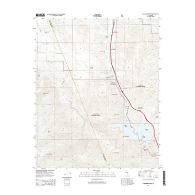
2015 Map of Black Mountain
USGS Topo · Published 2015About this map
Pyramid Lake dominates the southeastern portion of this landscape, created by the engineering of the Governor Edmund G Brown W/Br California Aqueduct. This modern water infrastructure, including the Angeles Tunnel and Gorman Cr, intersects with the deep canyons of the Los Padres National Forest and Angeles National Forest. The small settlement of Caswell sits along the corridor of the Golden State Hwy, serving as a point of human activity amidst the high relief of Black Mtn and Slide Mtn. To the west, the expansive Hungry Valley and various gulches like Bear Gulch showcase the drainage patterns of Piru Cr and its tributaries. Geographers will note the intricate shoreline features of the reservoir, including Chumash Island and Nugget Point, which reflect the mid-century transformation of this canyon terrain into a critical component of the state's water management system.
Find a feature on this map
43 named features on this map. Tap any name to fly to it.
Don’t see what you’re looking for? This feature index may not catch every label — zoom into the map to look around manually.
Map Details
Editions of this 2015 Black Mountain Map
This is the sole edition of this map. No revisions or reprints were ever made.
Other maps of this area

1903 · Tejon
USGS Topo · 1:125,000

1932 · Beartrap Canyon
USGS Topo · 1:24,000

1933 · Quail
USGS Topo · 1:24,000

1933 · Gorman
USGS Topo · 1:24,000

1938 · Beartrap Canyon
USGS Topo · 1:24,000

1938 · Gorman
USGS Topo · 1:24,000

1938 · Black Mountain
USGS Topo · 1:24,000

1938 · Quail
USGS Topo · 1:24,000

1942 · Frazier Mountain
USGS Topo · 1:24,000

1943 · Neenach
USGS Topo · 1:62,500