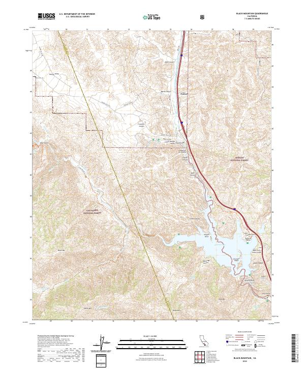
2022 Map of Black Mountain
USGS Topo · Published 2022About this map
Pyramid Lake serves as a focal point for this landscape along the Ventura and Los Angeles county border. The map captures a sophisticated water management network, dominated by the Governor Edmund G Brown West Branch California Aqueduct and the Angeles Tunnel. This infrastructure operates alongside the protected waters of the Piru Creek Wild and Scenic River, which carves through the dramatic Piru Gorge below the reservoir.
Find a feature on this map
58 named features on this map. Tap any name to fly to it.
Don’t see what you’re looking for? This feature index may not catch every label — zoom into the map to look around manually.
Map Details
Editions of this 2022 Black Mountain Map
This is the sole edition of this map. No revisions or reprints were ever made.
Other maps of this area

1903 · Tejon
USGS Topo · 1:125,000

1932 · Beartrap Canyon
USGS Topo · 1:24,000

1933 · Quail
USGS Topo · 1:24,000

1933 · Gorman
USGS Topo · 1:24,000

1938 · Beartrap Canyon
USGS Topo · 1:24,000

1938 · Gorman
USGS Topo · 1:24,000

1938 · Black Mountain
USGS Topo · 1:24,000

1938 · Quail
USGS Topo · 1:24,000

1942 · Frazier Mountain
USGS Topo · 1:24,000

1943 · Neenach
USGS Topo · 1:62,500